
September
4, 2013
Crater
Lake, OR

As
we took a walk to the showers last night we were wowed by the beautiful colors
in the sky.

But,
OMG-We kept waking up as we froze our butts off last night. I got up around 3AM to put on socks. A few minutes later I got up to put on a
sweatshirt and fuzzy pajama bottoms and was still very cold.

Broken
Arrow Campground consists of a series of loops.
We are the only campers in the G loop and there are only a handful of
people staying in the other loops.

We
got a fairly early start this morning for our day at Crater Lake.
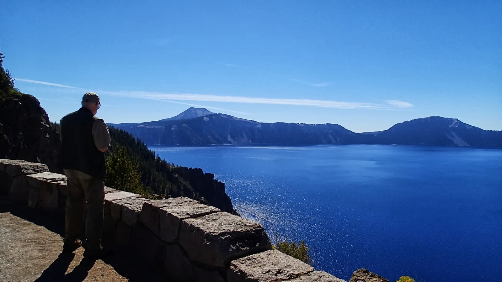
Crater
Lake was once a mountain so how did a mountain become a lake? 7,700 years ago, a massive volcanic eruption
left a deep basin in the place where a mountain peak once stood.
The deep blue lake was created from centuries
of rain and snow filling the basin.
Crater Lake, at 1,943 feet deep at its deepest point, is the deepest
lake in the United States.

We
decided the best way to see the lake from different vantage points was to drive
the 33 mile road that encircles Crater Lake.
There are numerous pull-outs along the way.

Cloudcap
Overlook-

This overlook is located a mile down a spur road. Here, whitebark pines dwarfed and contorted
by the harsh winds, cling for survival.

Pumice
Castle Overlook-

At this location the park’s most colorful feature can be
seen. The shape of a “medieval castle” that
is a layer of orange pumice rock.

Phantom
Ship Overlook-
 From our vantage point the “ship” looks tiny but it is actually
as tall as a 16-story building.
From our vantage point the “ship” looks tiny but it is actually
as tall as a 16-story building. 
This
island of erosion-resistant lava, at 400,000 years old is the oldest exposed
rock within the caldera.

Pinnacles
Overlook-

To view the colorful 100 foot spires, we had to drive down a 7-mile
spur road.

The Pinnacles were formed
from volcanic gases rising up through a layer of volcanic ash, cementing the
ash into solid rock.

Bird
encounters at Vidae Falls picnic area-

We stopped to eat lunch at this peaceful
picnic area.

Monte pointed out a gray
jay in a tree a few feet away. Another
one landed on a different branch of the same tree, then another one. Within a couple of minutes there were dozens
of birds watching us eat. As I jokingly
stated that they were looking for a handout one of the birds swooped down and
landed on the sandwich I was holding. It
startled me. My reaction was to throw
the sandwich down that resulted in a dozen or so birds fighting over it.

Monte
thought it was funny until the birds turned their attention to him. He realized
the only way he was going to be able to finish his sandwich was to throw a few
crumbs.

Vidae
Falls-

A spring-fed creek tumbles over a glacier-carved cliff dropping 100 feet
over a series of ledges forming a cascading waterfall.

Castle
Crest-

This short trail loops through a beautiful meadow.

It was rocky and slippery in places along the
trail.
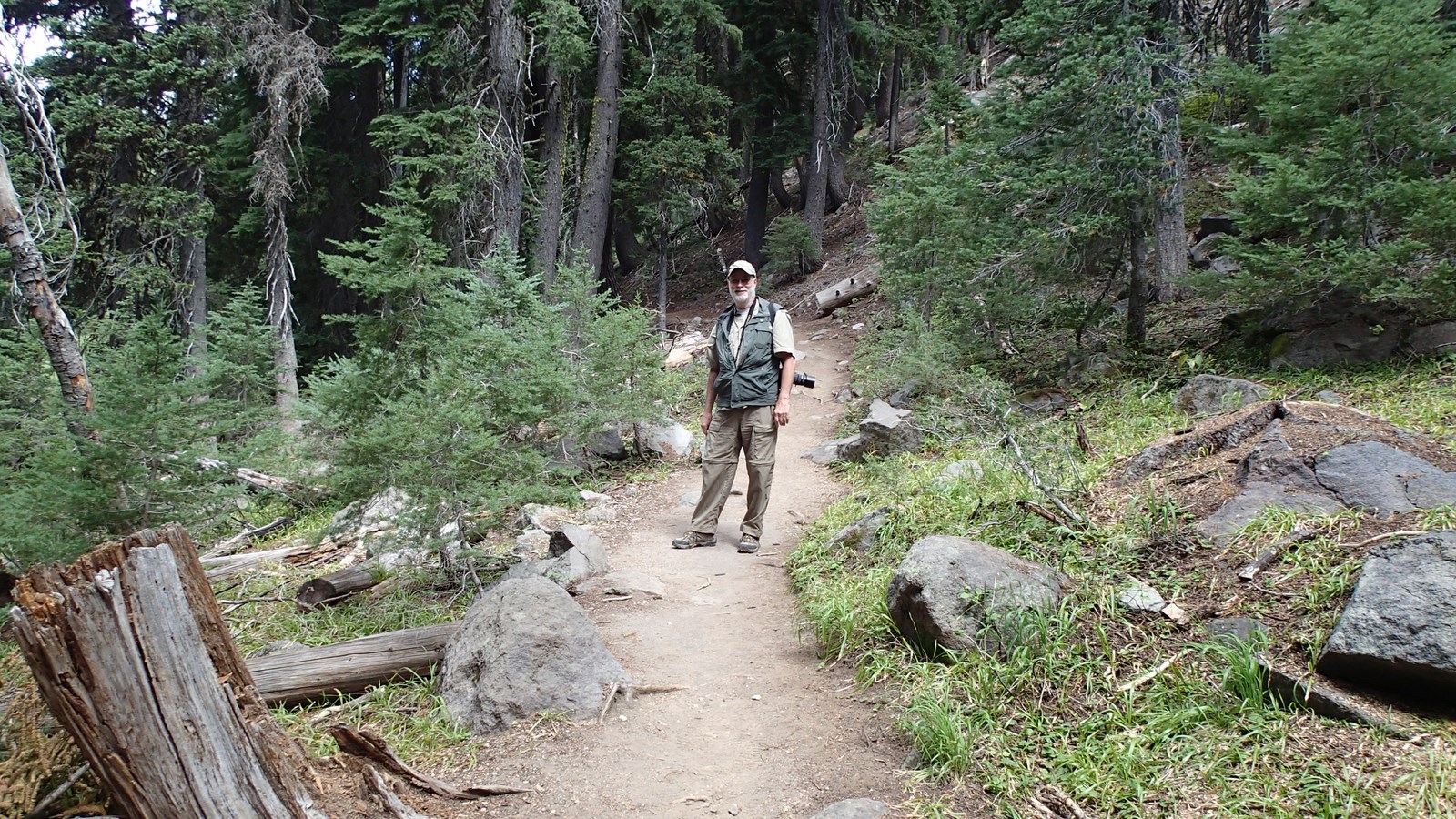


Just as we were approaching the
last part of the trail we spotted a beaver dart along a log crossing the
creek. Unfortunately, neither Monte nor
I had our camera ready.

Steel
Visitor Center-

After stamping my passport, we watched a 22 minute orientation
film that clearly explained how the lake was formed and how it became a
protected National Park in 1902 through the efforts of William Gladstone
Steel.

Lady
of the Woods-

This short trail loops around the Park Headquarters.

The trail’s name comes from a sculpture of a
woman carved into a boulder along the trail.


There
are these large poles all along the Rim Drive and at the Steel Visitor
Center. We learned that they are snow
poles.

The average snowfall at Crater
Lake is 43 feet and the poles are used as a guide for snowplowing.

Our
last stop was at the Rim Visitor Center where we browsed through the gift
shop.


It
had been an awesome day.
No comments:
Post a Comment